Aerial intelligence for teams that need answers, not footage
Precision surveys delivered as structured insight, fast and clean.

We capture thermal, structural and volumetric data with RTK-grade drones and processes every flight into a decision-ready result – classified defects, geo-tagged findings, verified volumes, mapped to the centimetre. The output routes directly into your platform, so your team never has to sort footage or re-enter a single finding.
Survey-grade RTK precision
Insights integrated in your ERP
Turnkey approach start to finish
Faster than other providers
Europe wide coverage
Industries in Our Focus

Logistics
Aerial surveys of ports, terminals, cranes and breakbulk operations, delivered into the systems your team already runs.
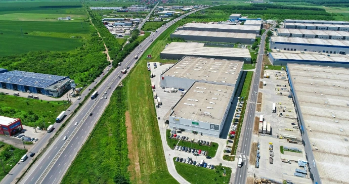
Industrial
Structural and thermal inspections for factories, energy sites and utilities, routed straight into your maintenance systems.
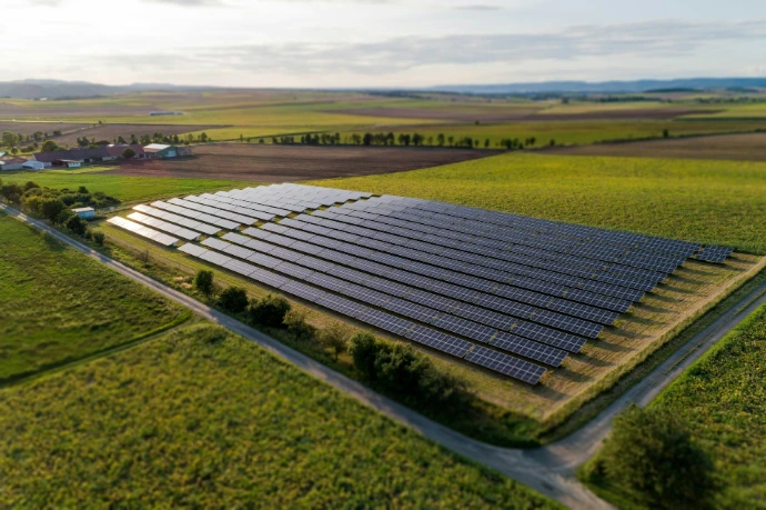
Green Energy
Thermal audits that detect hotspots and panel-level defects across solar farms, delivered ready for your maintenance team.
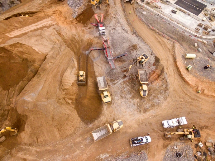
Construction
Recurring flights that track site progress from groundbreaking to handover, flagging deviations as they happen.
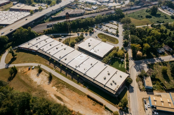
Insurance
Roof and facade surveys that document condition in detail, supporting underwriting and claims assessment.
Our services
Data capture
Orthomosaic mapping
Thermal imaging
LIDAR data collection
Volumetric & stockpile surveys
Structural inspection flights
Analytics & Integration
Defect classification & severity ranking
Automated reporting
CMMS / GIS / BIM / API integration
Anomaly geo-tagging
Monitoring & Consulting
Subscription inspections
Compliance monitoring
Portfolio trend tracking
Consulting
Why we're not just another drone company?
Traditional methods
High cost
Slow deployment
Safety risk to people
Standard drone operators
Raw photo and video files
No system integration
Manual data entry for your team
SD Aerial Survey-grade
RTK precision
Direct ERP / dashboard integration
Zero manual work, fully turnkey
Our cases
 Category
Category
Category
Volumetric survey of bulk cargo at an active terminal
LogisticsBelgiumAt a breakbulk terminal in the Port of Antwerp, SD Aerial ran a volumetric survey of dry bulk cargo stockpiles across three active berths. RTK-precision flights were scheduled around vessel arrivals, so terminal operations continued without a single scheduling conflict. Verified volumes were delivered directly into the terminal's inventory system within 48 hours of the flight.
Learn more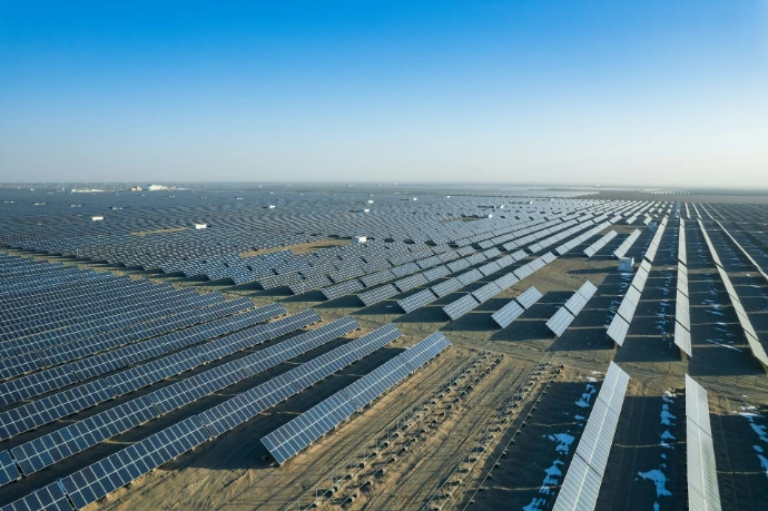 Category
Category
Category
Full-site thermal audit across a 40-hectare solar farm
Solar farmFranceA solar operator in southern France needed a full performance audit across a 40-hectare installation ahead of the summer output peak. SD Aerial flew RTK-precision thermal surveys across the entire site, pinpointing panel-level hotspots and wiring faults down to individual rows. Results were ranked by projected performance impact and routed directly into the operator's asset management platform, letting the maintenance team prioritise repairs before losses added up.
Learn more Category
Category
Category
Post-storm facade inspection for a commercial claim
InsuranceBelgiumAt a breakbulk terminal in the Port of Antwerp, SD Aerial ran a volumetric survey of dry bulk cargo stockpiles across three active berths. RTK-precision flights were scheduled around vessel arrivals, so terminal operations continued without a single scheduling conflict. Verified volumes were delivered directly into the terminal's inventory system within 48 hours of the flight.
Learn more