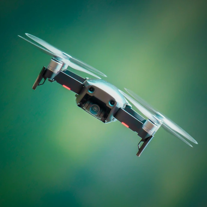
SD Aerial surveys across the industries we serve with RTK-precision drones. Every flight becomes structured, decision-ready data, not raw footage someone has to review by hand. We work across Europe, with one registration covering airspace access across all 27 EU member states.



SD Aerial also operates as one full-cycle partner. The same team captures the data, analyzes every finding, and integrates results directly into the systems our clients already run, with nothing handed off between separate vendors. Every flight is flown by a certified, registered pilot, never an outside subcontractor, and we mobilize quickly, without the multi-week booking queue common across the industry.
Survey-grade RTK precision
Insights integrated in your ERP
Turnkey approach start to finish
Faster than other providers
Europe wide coverage
Coverage across Europe
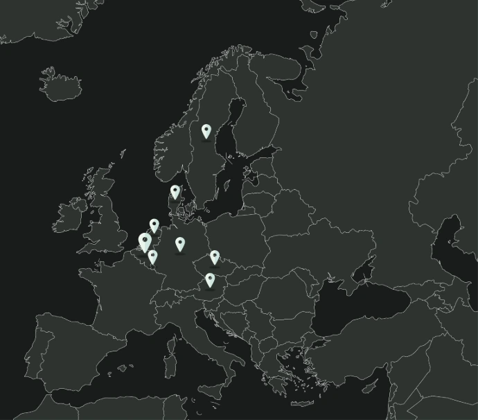
SD Aerial flies across Europe. A client running sites in several countries works with one team throughout, on one contract, through a single point of contact. That team carries the same standards and reporting format into every project, wherever in Europe it happens to be.
Our Team

Bohdan Savchuk
Co-founder & CTO

Roman Dereka
Co-founder & CEO